77
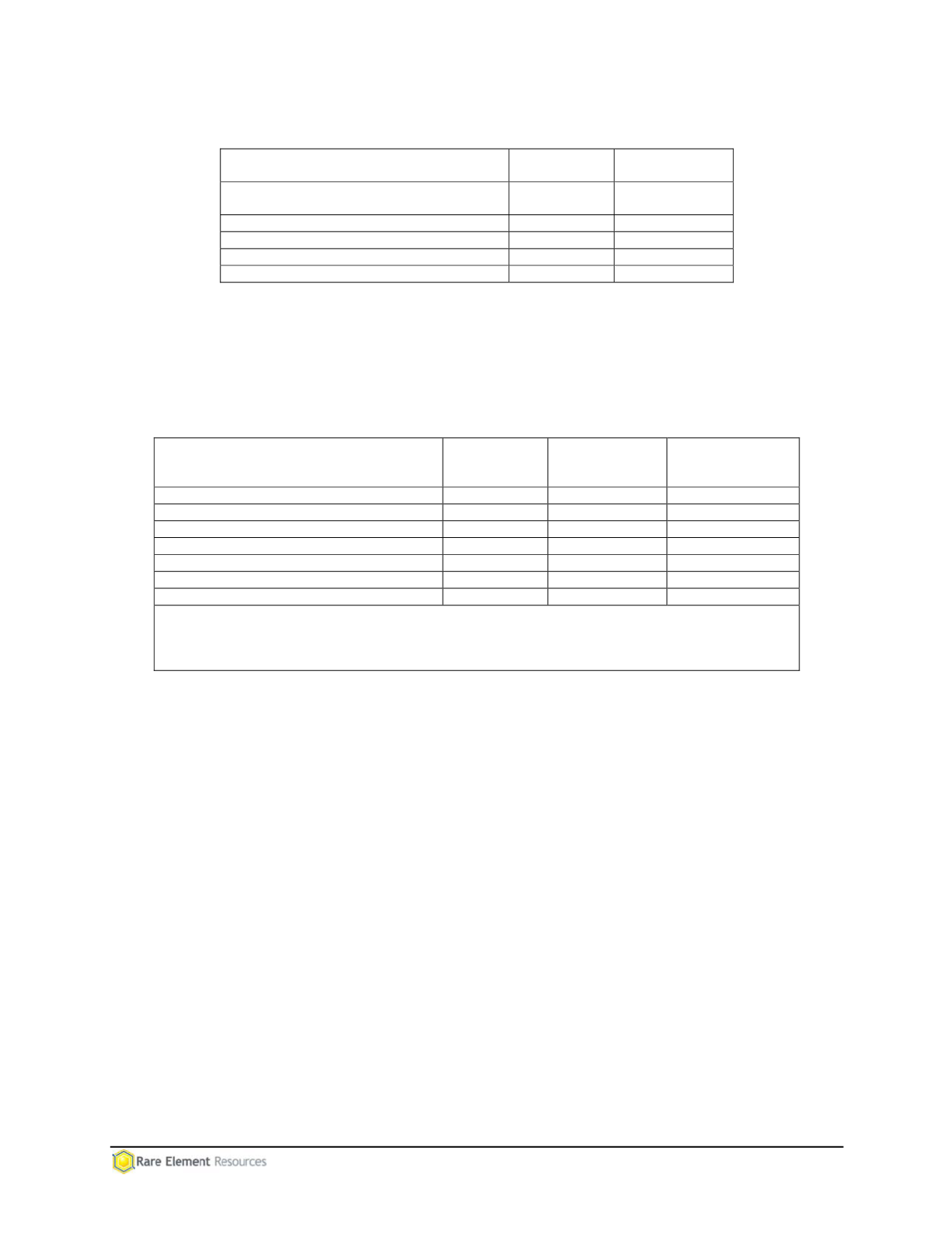
Table 5.18-1
Forest Service Management Areas within the Project Area
Management Area
Approximate
Area (acres)
Percentage of
Project Area
3.32 Backcountry Non-motorized
Recreation
30
0.3
5.1 Resource Production Emphasis
5,481
62.7
5.4 Big Game Winter Range Emphasis
2,215
25.3
Non-managed land
1,024
11.7
Total
8,750
100.0
Outside of the Project Area, the Miller Creek Access Route crosses Management Area 5.4 for
0.45 mile. Table 5.18-2 summarizes the activities that are permitted in the management areas
within the Project Area. Mineral development is allowed in all management areas within the
Project Area.
Table 5.18-2
Allowable Activities in Black Hills National Forest Management Areas
1
Land Use Activity
MA 5.1
Resource
Production
MA 5.4
Big Game
Winter Range
MA 3.32 Back-
country, non-
motor rec areas
Non-Motorized Dispersed Recreation
Yes
Yes
Yes
On-Road Motorized Vehicles
Yes
Restricted
2
Yes
Off-Road Motorized Vehicles
Yes
Restricted
2
Restricted
3
Snowmobile on Snow
Yes
Restricted
4
Not addressed
Timber Harvesting
Yes
Yes
Minimal
Livestock Grazing
Yes
Yes
Yes
Mineral Development
Yes
Yes
Yes
1
Source: Forest Service, 1997.
2
Seasonal or year-round restrictions may apply.
3
Administrative permission required.
4
To designated routes only.
5.18.2 Design Feature/Environmental Protection Measures
RER has identified the following design features/environmental protection measures to reduce
potential conflicts with Forest Service management areas:
Major components of the Bull Hill Mine, including the PUG Plant, and Mineable Pit
are located in Management Area 5.1 (Resource Production Emphasis). The Waste
Rock Facility (including the Low Grade Ore Stockpile) would be located on private
lands. No development is planned in Management Area 5.4 (Big Game Winter
Range Emphasis) in the eastern portion of the Project Area, allowing deer and elk to
use this area during winter and other critical time periods.
Temporary disturbances that occur during the life of the mine will be reclaimed as
soon as practicable to limit and prevent erosion and assure that scenic values are
maintained.
5.19 RANGE MANAGEMENT
5.19.1 Baseline Description
Six grazing allotments are located within the Project Area: Blacktail, Ogden, Warren Peak,
Togus, Redwater, and Divide allotments (see Map 5.19-1 and Table 5.19-1). Protection and
management for range resources in the Project Area includes gates, wire gates, and fences.


